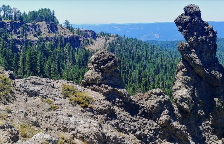
This Cache is an amateur radio APRScache, along with being an EarthCache, too. For ham radio operators, the geology portion of the cache is optional. To log the APRScache, simply log the location with your APRS-enabled radio at the EarthCache GPS coordinates. Note: The road is closed in the winter, due to snow; additionally, in summer, the US Forest Service road requires higher clearance vehicles for accessing the site.
Optionally, you can also log the EarthCache, which teaches more about the younger volcanic deposits that emanated from the Little Walker Volcanic Center, east of Sonora Pass. EarthCachers will learn more about Sonora Pass geologic history, what a lithofacies is, grain size classification, sorting, and rounding of volcanic sediments. These characteristics can help determine relative distances volcanic sediments traveled from their source.
Here are the coordinates for the EarthCache on the Geocaching.com website:
"Trail of the Gargoyles"

| Cache name | APRScache/EarthCache: Trail of the Gargoyles |
| Hint | Park at the parking area and log the APRScache, then hike up to the EarthCache location(s). |
| Country | United States |
| Gridsquare | DM08AF69TS |
| Latitude | 38.249127 |
| Longitude | -119.943243 |
| Difficulty | Challenging |
| Terrain | Experienced outdoor enthusiasts only |
|
Empty
|

