This Cache is an amateur radio APRScache, along with being an EarthCache, too. For ham radio operators, the geology portion of the cache is optional. To log the APRScache, simply log the location with your APRS-enabled radio at the EarthCache GPS coordinates. (Note: radio and cell service are limited here).
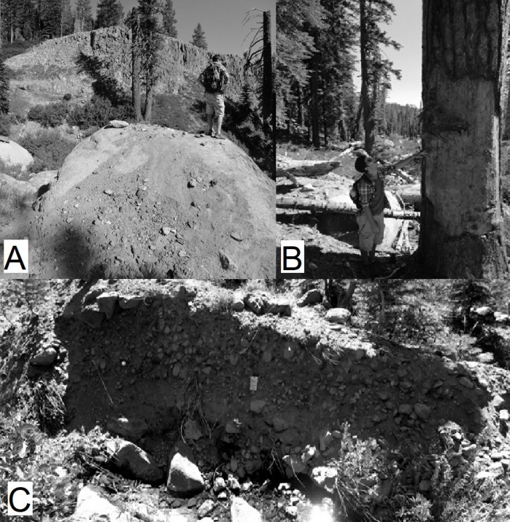
Optionally, you can also log the EarthCache, which teaches more about the geology of the Dardanelles area, in the Carson-Iceberg Wilderness, Stanislaus National Forest, California. The rocks observed are part of the Tertiary/Neogene volcanics and glacial till deposits, covering the older granitic basement rocks. EarthCachers will hike to the edge of a debris flow, make observations of surficial processes, then estimate the depth of the debris flow, just like a geologist might do, working for a government agency.
Here are the coordinates for the EarthCache on the Geocaching.com website:
"Sword Lake Debris Flow"

| Cache name | APRScache/EarthCache: Sword Lake Debris Flow |
| Hint | Park at the parking area and log the APRScache, then hike up to the EarthCache location. |
| Country | United States |
| Gridsquare | DM08AJ84LA |
| Latitude | 38.391831 |
| Longitude | -119.929229 |
| Difficulty | Difficult |
| Terrain | Experienced outdoor enthusiasts only |
|
Empty
|

