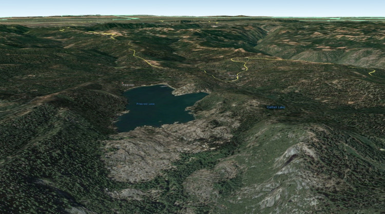
This Cache is an amateur radio APRScache, along with being an EarthCache, too. For ham radio operators, the geology portion of the cache is optional. To log the APRScache, simply log the location with your APRS-enabled radio at the EarthCache GPS coordinates for the parking area.
Optionally, you can also log the EarthCache, which teaches more about Pinecrest Lake, a very popular recreation site in the Stanislaus National Forest, which is located off of Highway 108, approximately 4 miles northeast of Cold Springs and 1 mile east of Strawberry, California. The EarthCache site is on the dam that holds back the water in the reservoir at Pinecrest. You will need to find a place to park, then hike to the dam site. The hike is short, but the elevation is approximately 5,600 feet. Two of the geological features geologists have been curious about here are: 1) glacial moraines; and 2) stream capture, or stream piracy. You will learn about both concepts at this EarthCache site.
Here are the coordinates for the EarthCache on the Geocaching.com website:
"Pinecrest Lake Moraines and Stream Capture"

| Cache name | APRScache/EarthCache: Pinecrest Lake Moraines and Stream Capture |
| Hint | Park at the parking area and log the APRScache, then hike up to the EarthCache location. |
| Country | United States |
| Gridsquare | DM08AE06QG |
| Latitude | 38.192787 |
| Longitude | -119.994136 |
| Difficulty | Average |
| Terrain | Handicapped accessible |
|
Empty
|

