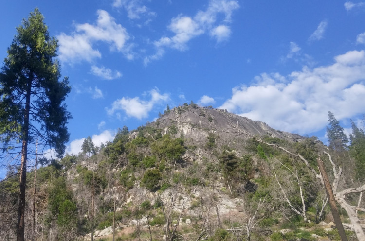
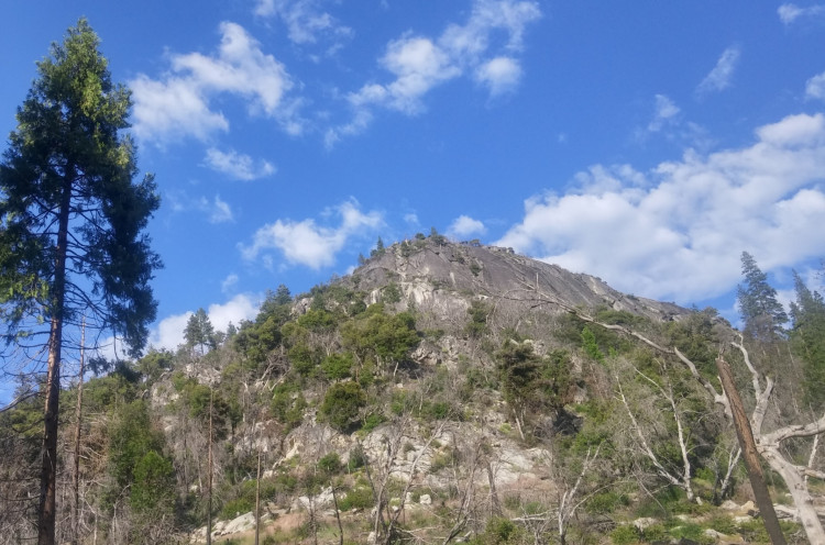
This Cache is an amateur radio APRScache, along with being an EarthCache, too. For ham radio operators, the geology portion of the cache is optional. To log the APRScache, simply log the location with your APRS-enabled radio at the EarthCache GPS coordinates.
Optionally, you can also log the EarthCache, which teaches more about skarn deposits and ore mineralogy in Calaveras County. The EarthCache is located on Garnet Hill up a 4 wheel drive road that is only accessible (at the time the EarthCache was created) by hiking. The elevation change is <1,100 feet (from ~3,300 to ~4,400 feet) and can be considered strenous, but the site is worth a visit to see the interesting geology. Please leave the site as you found it.
Here are the coordinates for the EarthCache on the Geocaching.com website:
"Garnet Hill"


| Cache name | APRScache/EarthCache: Garnet Hill |
| Hint | Park at the parking area, then hike up to the EarthCache location and log the APRScache. |
| Country | United States |
| Gridsquare | CM98UL85HX |
| Latitude | 38.483192 |
| Longitude | -120.263932 |
| Difficulty | Difficult |
| Terrain | Experienced outdoor enthusiasts only |
|
Empty
|

