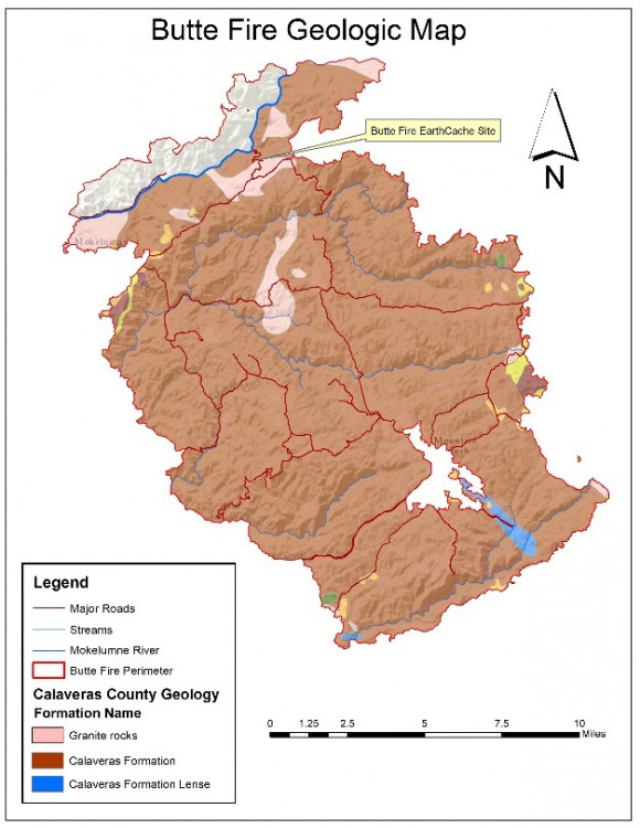
This Cache is an amateur radio APRScache, along with being an EarthCache, too. For ham radio operators, the geology portion of the cache is optional. To log the APRScache, simply log the location with your APRS-enabled radio at the EarthCache GPS coordinates. (Note: Radio and cell service may be questionable in this area).
Optionally, you can also log the EarthCache, which teaches more about the Butte Fire and observations of the geology along the roadway, in the burned sub-watershed, above the Mokelumne River. Most of the Butte Fire burned in rocks of the Calaveras Complex, with a smaller portion having burned granitic rocks. Your task here is to examine the bedrock at the GPS location in order to determine the role it played in erosion, sediment production, and mass wasting within the sub-watershed.
Here are the coordinates for the EarthCache on the Geocaching.com website:
"Butte Fire Geology and Debris Flow Hazards"

| Cache name | APRScache/EarthCache: Butte Fire Geology and Debris Flow Hazards |
| Hint | Park at the GPS coordinates and log the APRScache; then walk, or drive, to, and log, the EarthCache. |
| Country | United States |
| Gridsquare | CM98QI40TV |
| Latitude | 38.337045 |
| Longitude | -120.626733 |
| Difficulty | Challenging |
| Terrain | NOT suitable for small children |
|
Empty
|

